
Speed limit maps supporting ISA
05/10/2025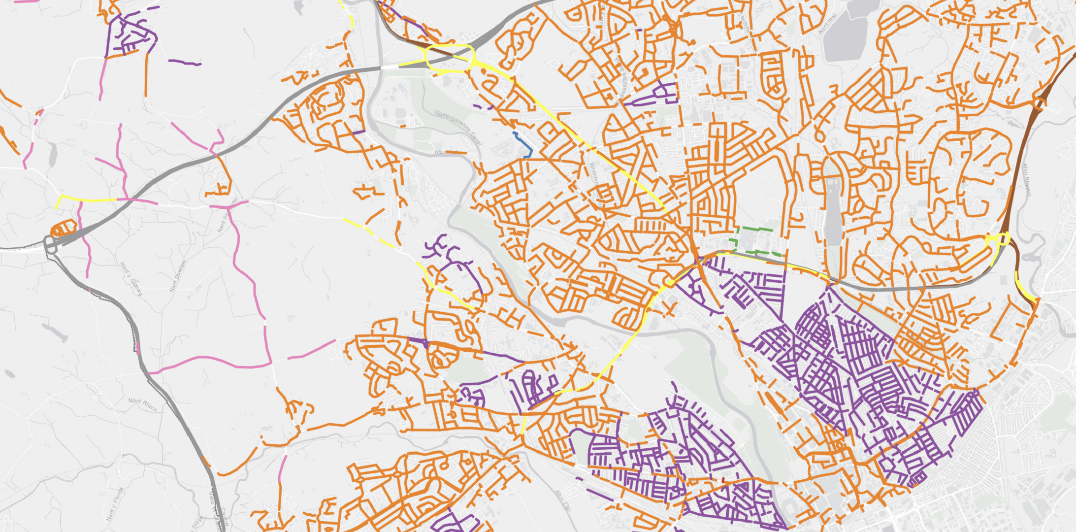
Speedmap Included in PSGA
05/10/2025Case study:
Combining datasets to understand risk
Road safety teams in local authorities and police forces have relied on survey data to understand how many people travel on specified roads and at what speed.

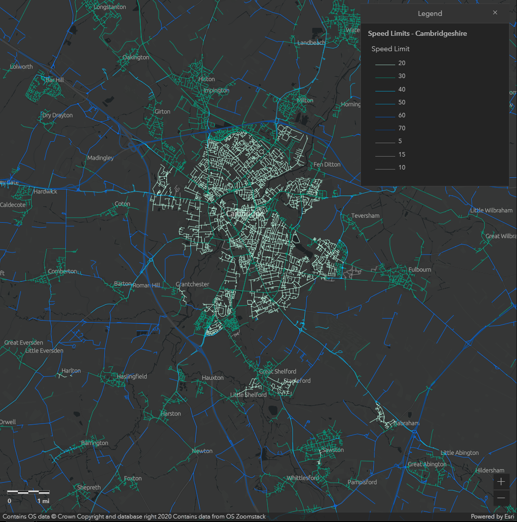
Road safety teams in local authorities and police forces have relied on survey data to understand how many people travel on specified roads and at what speed. This eveidence is then used to prioritise interventions including road engineering and enforcement. Our SpeedMap data has been available via Ordnance Survey's Mastermap Highways network for around three years and is now being used by agencies across Great Britain to understand road risk.
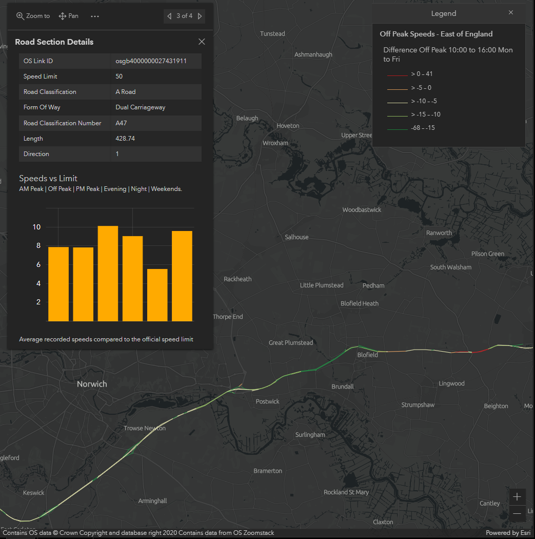
One great example of our data being put to great use is seen in the 'Speed Compliance Tool' by Agilysis. Their online platform, hosted by Esri, allowers users to access the data in a secure environment via any we browser. Customers include National Highways plus many local authorities and police forces.
Speeds are measured at different times of day from billions of vehicle movements with comprehensive cover across the entire GB road network. These are then compare with the SpeedMap data to identify which roads have the poorest compliance issues at different times of day.
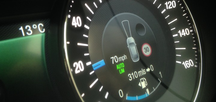
The information is also useful to assess speeding complaints from members of the public. Users can see average vehicle speeds in seconds to make judgements on the appropriate next steps, whether that is a simple response stating that there is no significant issue, a requirement for further investigation, or escalation as a part of a speed management strategy.