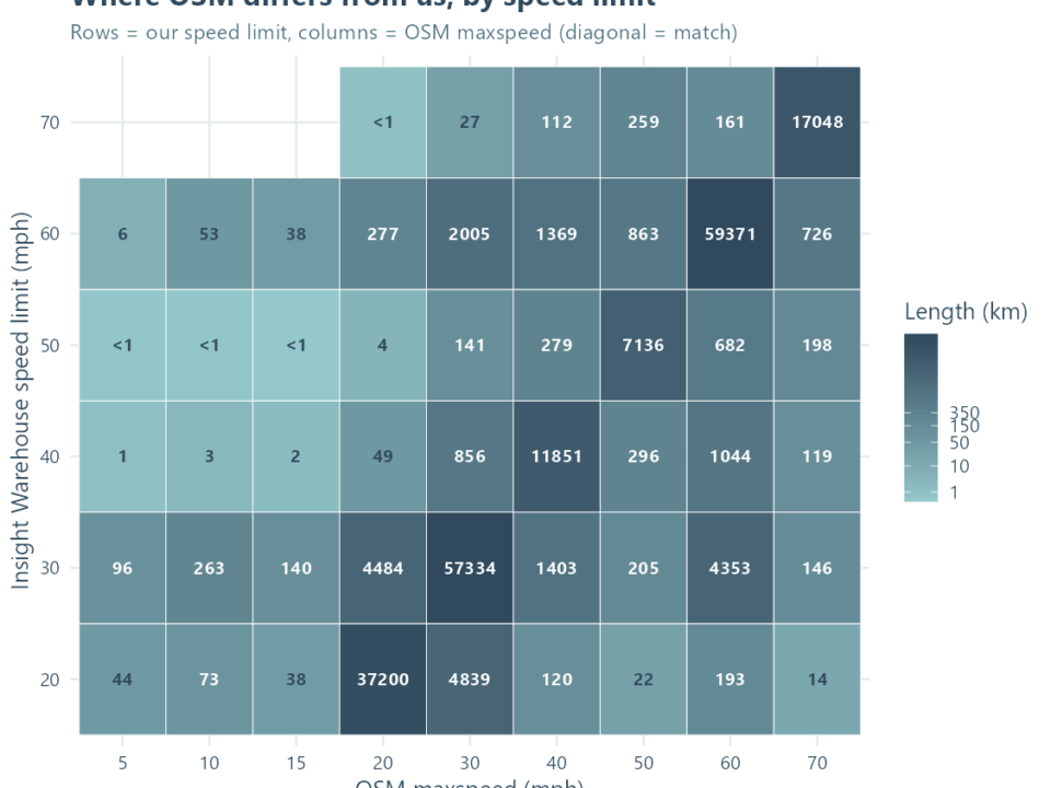
1The speed limit is wrong on this road
We do our best to make sure that we capture all available evidence about roads but no map or database is perfect. Our clients say that our data is the most accurate available which reflects the efforts we put into our update process. If we have missed something we are able to take feedback from clients and others accessing our data. We have a dedicated inbox for all change notifications and in some cases will provide access to the database itself where road authorities can suggest changes.
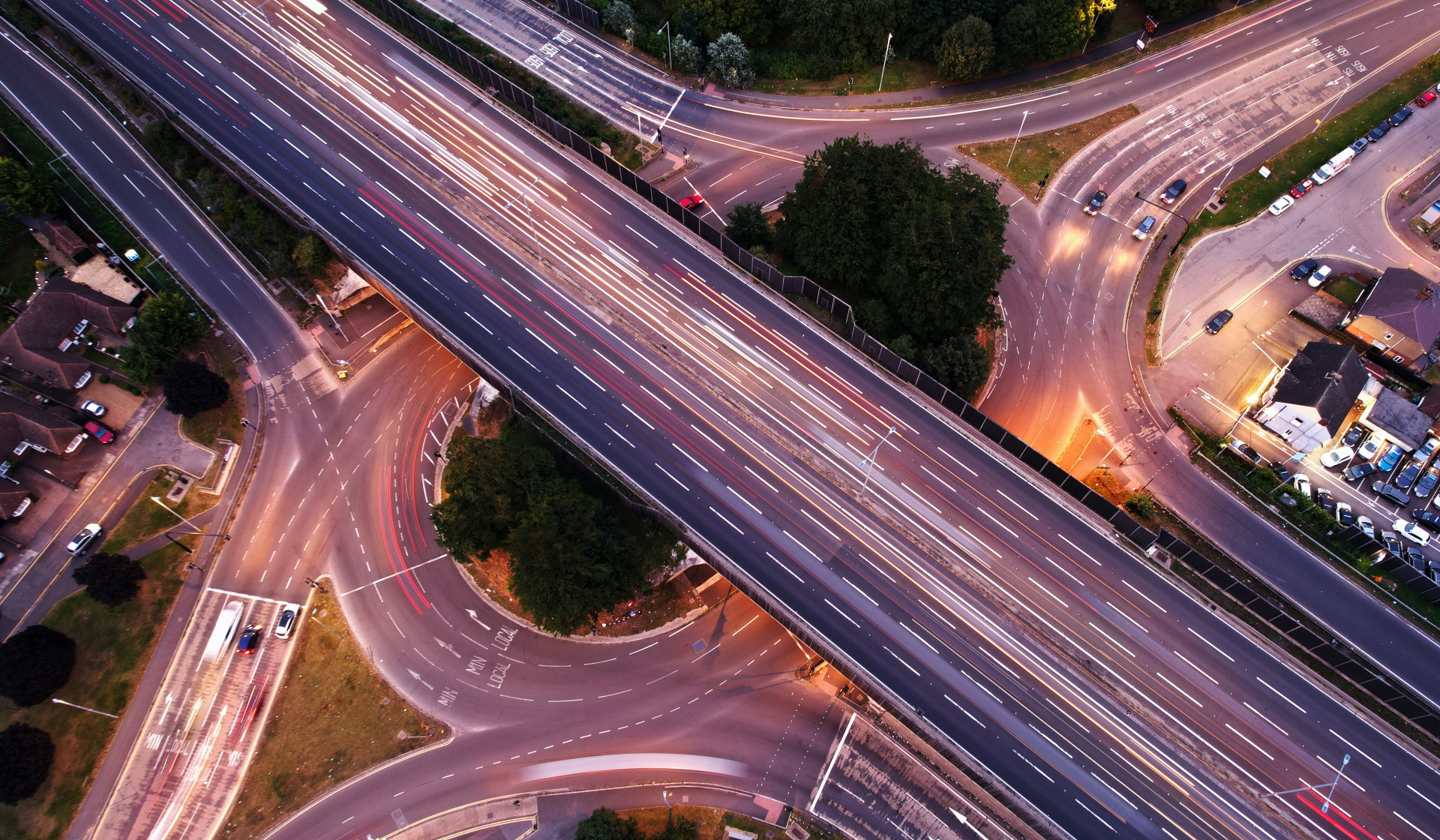
2What about roadworks and temporary speed limits
We made the decision not to include temporary speed limits in our database at an early stage, although some long-term changes backed by a Traffic Regulation Order (TRO) may be included. Speed limits on motorways in Great Britian can often be changed dynamically for example and where our data is used in-vehicle, these temporary changes are often handled by cameras in side the vehicle providing two forms of evidence on the prevailing speed limit. For clients using our data to trigger over speeding warning we have to accept that where a temporary limit is in place any non-compliance won’t be recorded. For roadworks schemes the duration can be very short and we take an individual approach to each limit. For example, where long-term limits have been imposed due to works supporting HS2 we have included these. We don’t include data on time-specific speed limits, for example near schools.
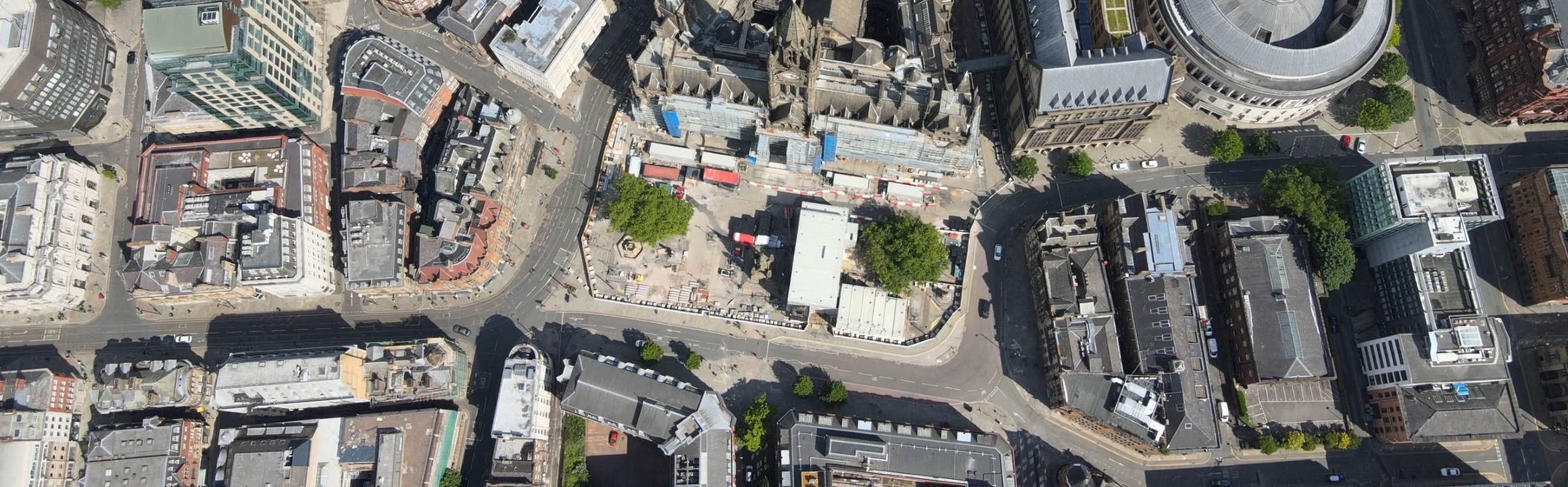
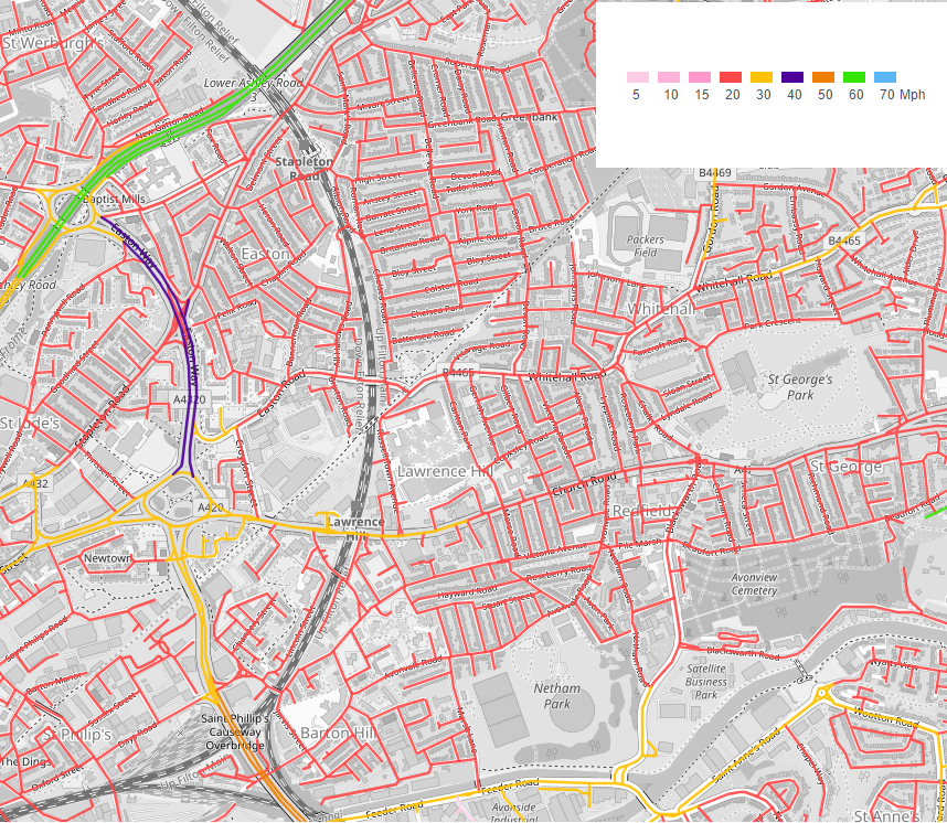
3Speed limits change really close to a junction
Our database has historically provided the prevailing legal speed limit for road sections. Each section is typically defined by road geometry including the location of junctions. As speed limits typically change close to junctions this means that our data for a road section is highly accurate, and for the use-cases of our clients this is absolutely fine as vehicles are typically slowing down or speeding up at these points. Where limits change at a point significantly away from a junction we will make a decision on whether we need to note this and include it in our data. Usually this will be within 100-200m.
4The speed limits change last month but it’s not changed yet.
As our data are refreshed each quarter it may take a little time for the changes to cascade through to clients. It could be that we already have a change noted in our master database ready for inclusion in the next update. We do appreciate all feedback on speed limits which can be sent to our team through the dedicated inbox.
5What about private roads?
We have always focussed on recording legal speed limits on public roads but we will include data for private roads where available. We can’t promise to offer the same level of coverage and accuracy on private roads but will do our best to make sure they are included where we know an advisory limit is in place.
6Why don’t you have speeds in Country X?
Our coverage is expanding rapidly in 2025 with our ambition to cover all roads in Europe by 2027. If you are a client interested in data for a territory not currently listed please get in touch and we can see if it’s possible to prioritise this area.
7I’m a member of the public and want to see the data for my road.
Unfortunately we can’t provide access to our data to the public due to licencing restrictions. For Great Britain, all public sector organisations have access to the database through the Public Sector Geospatial Agreement which means they may be able to tell you what the current limit is. We would love to explore ways in which the public can make single requests for information however and are currently exploring ways in which we can facilitate this without licencing restrictions and hope to have a solution for this in the next 12 months. In the meantime, if a speed limit has change recently on your road or in your area please use the contact us form to let us know.
8I am a Parish or Town Council and want to see the map for my area.
Great news, the Public Sector Geospatial Agreement allows thousand of organisations free access to many Ordnance Survey Datasets free of charge. To find out if you are included please follow this link. You will need to register for access and download the data for viewing locally using appropriate software however. We are exploring ways in which we can provide access to our web portal that would negate the need for this process but it requires changes to the way the data is licenced – watch this space!
9I am a student or researcher who would like access to the data.
Currently universities and colleges are not able to access data under the PSGA, although we have made offers to the appropriate central bodies to allow access free of charge for research projects. We are able to offer very low-cost access to the data for certain projects (usually those with research finding) and may in some cases be able to support PhD students in their work. Unfortunately we aren’t in a position to support other requests for data relating to academic projects due to the volume involved.